Íomhá:Australia Northern Territory location map blank.svg

Taispeáin leagan ardtaifigh den íomhá (Comhad SVG, ainmniúil 1,134 × 1,577 picteilíni, méid comhaid: 493 KB)
| Seo comhad as An Cómhaoin Viciméid. Tá an tuairisc as an leathanach tuairisc Cómhaoin a leanas thíos.
|
| Tuairisc |
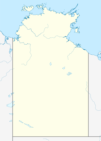
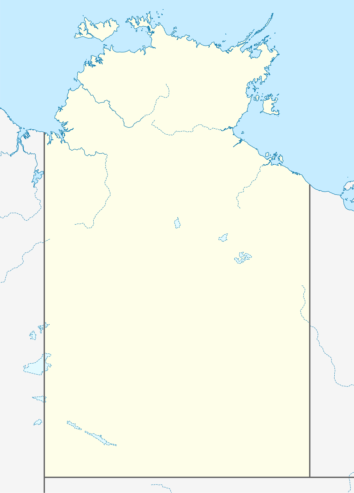
Quadratische Plattkarte, N-S-Streckung 105 %. Geographische Begrenzung der Karte:
Equirectangular projection, N/S stretching 105 %. Geographic limits of the map:
|
|
| Dáta | (UTC) | |
| Foinse |
|
|
| Údar |
|
|
| Ceadúnas (Athúsáid a bhaint as an gcomhad seo) |
This file is licensed under the Creative Commons Attribution-Share Alike 3.0 Germany license.
 |


|
This map has been made or improved in the German Kartenwerkstatt (Map Lab). You can propose maps to improve as well.
|
- Is féidir:
- an saothar seo a roinnt – an saothar seo a chóipeáil, a dháil amach, agus a tharchur
- an saothar seo a athmheascadh – an saothar seo a oiriúnú
- Ach amháin má leantar na coinníollacha seo a leanas:
- sannadh – Ní mor creidiúint a thabhairt leis an saothar, faoi mar a shonraigh an údar nó tabharthóir an ceadúnais (ach ná húsáid modh a thugann le fios go thacaíonn sé/sí tú féin nó an úsáid a bhaineann tú as an saothar).
- comhroinn araon – Má athraíonn tú nó síneann tú amach an saothar seo, ní féidir é a dháileadh ach amhaín faoin gceadúnas céanna nó ceann cosúil leis an gceann seo.
Original upload log
This image is a derivative work of the following images:
- 2009-12-18T16:37:07Z NordNordWest 1134x1577 (546267 Bytes) =={{int:filedesc}}== {{Information |Description= {{de|Positionskarte des [[:de:Northern Territory|Northern Territory]], [[:de:Australien|Australien]]}} Quadratische Plattkarte, N-S-Streckung 105 %. Geographische Begrenzung de
Uploaded with derivativeFX
Stair chomhaid
Cliceáil ar dáta/am chun an comhad a radharc mar a bhí sé ag an am sin.
| Dáta/Am | Mionsamhail | Toisí | Úsáideoir | Nóta tráchta | |
|---|---|---|---|---|---|
| faoi láthair | 01:38, 10 Aibreán 2010 | | 1,134 × 1,577 (493 KB) | Roke~commonswiki | {{Information |Description={{de|Positionskarte des Northern Territory, Australien}} Quadratische Plattkarte, N-S-Streckung 105 %. Geographische Begrenzung der Karte: * N: 10.6° S * S: 26.5° S * W: 127.5° O |
Úsáid comhaid
Níl nasc ó aon leathanach eile don íomhá seo.
Global file usage
The following other wikis use this file:
- Úsáid ar azb.wikipedia.org
- Úsáid ar ceb.wikipedia.org
- Úsáid ar da.wikipedia.org
- Úsáid ar de.wikipedia.org
- Úsáid ar en.wikipedia.org
- Úsáid ar es.wikipedia.org
- Úsáid ar fa.wikipedia.org
- الگو:Location map Australia Northern Territory
- آلیس اسپرینگز
- پالمرستون (استرالیا)
- آریونگا
- آپوتولا
- آنگوروگو
- آلیانگولو
- آلپورورولام
- آدلاید ریور
- بولمان، استرالیا
- بچلور
- بورولولا
- بارونگا
- برو کریک
- گونبالانایا
- گروو هیل
- اوا ولی
- الیوت (استرالیا)
- دوندی
- دالی ریور
- دالی واترز
- هرمانزبورگ
- هامپتی دو
- هاستس بلاف
- هارتس رنج
- یارالین
- یوندومو
- یولارا
- ییرکالا
- نگوکور
- نهولونبوی
- نامبولوار
- پاپونیا
- وورومیانگا
- واگایت بیچ
- وادی (استرالیا)
- تاپ اسپرینگز
- تیتجیکالا
- تیمبر کریک
- تی تری
- تننت کریک
- استپلتون
View more global usage of this file.