Íomhá:Brazil State Rondonia.svg

Taispeáin leagan ardtaifigh den íomhá (Comhad SVG, ainmniúil 702 × 687 picteilíni, méid comhaid: 676 KB)
| Seo comhad as An Cómhaoin Viciméid. Tá an tuairisc as an leathanach tuairisc Cómhaoin a leanas thíos.
|

|
Standardization of derivative maps
Feel free to create derivations of this work, but if you want to illustrate a Wikipedia article with derivative works of this or similar maps of Brazil, please strictly follow the visual standard, nomenclature and classification already in use. All maps of Brazilian subdivisions are being adaptated or created in this way. We do not want to inhibit creativity but the pattern adopted here was presented and accepted by the Lusophone community and should be followed whenever possible. |
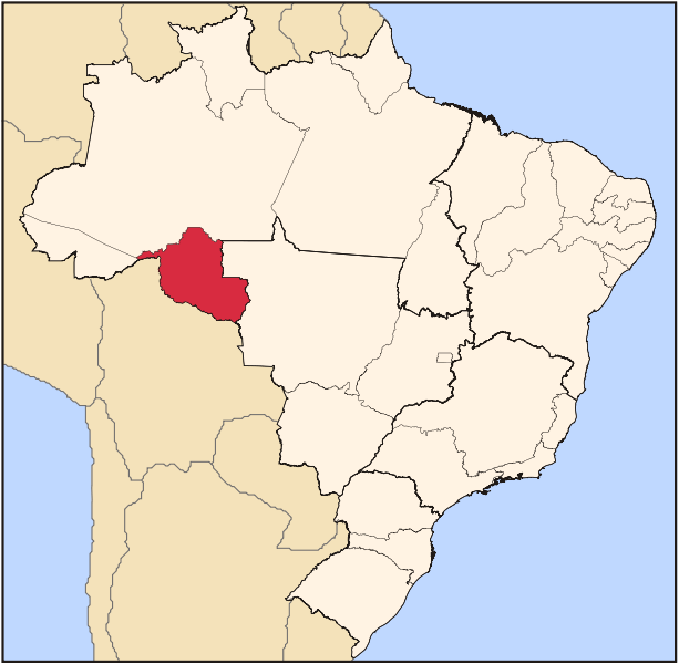
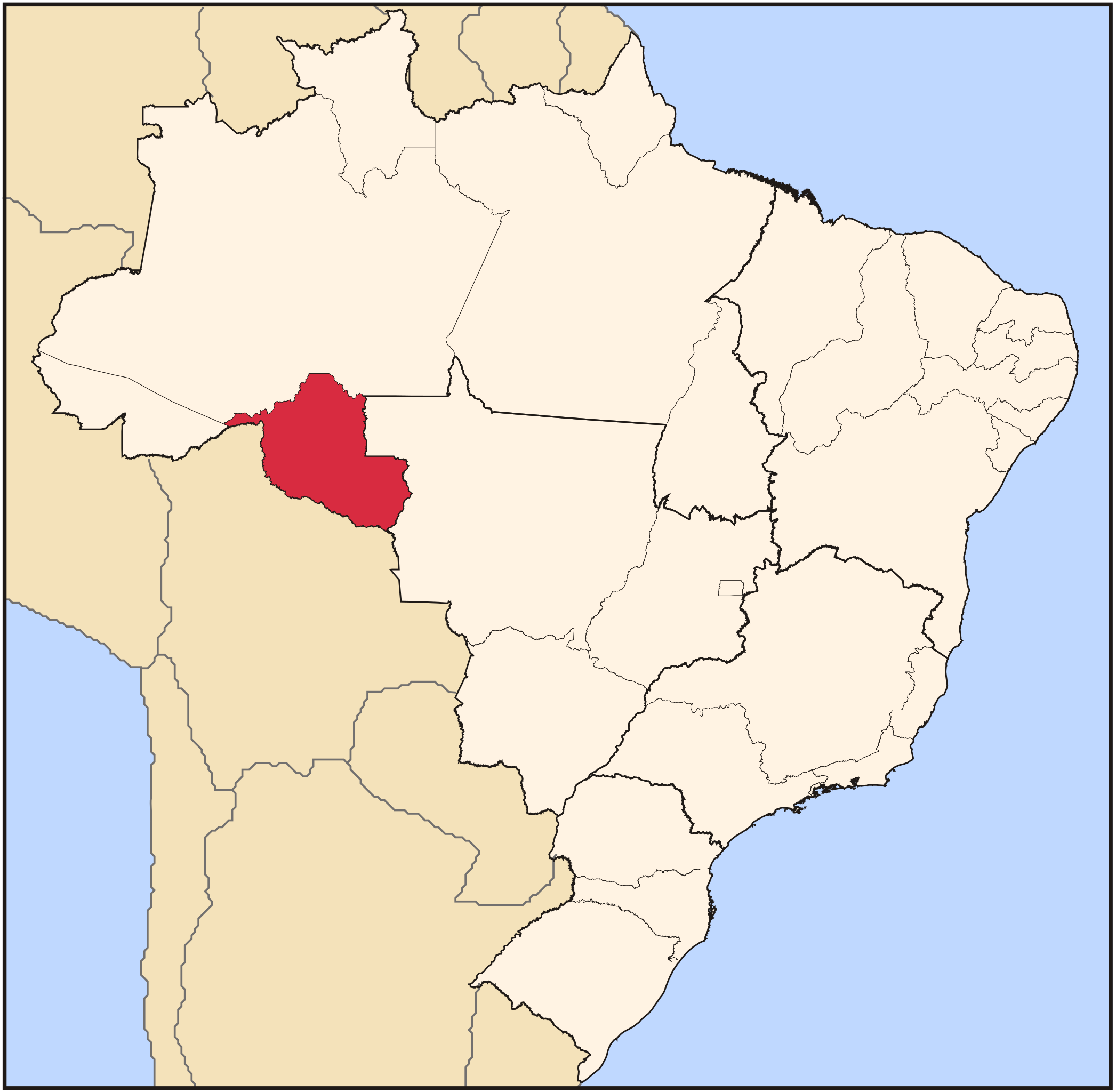
| Tuairisc | Map locator of Brazil's Rondônia state | ||||||||
| Dáta | |||||||||
| Foinse | Obair féin | ||||||||
| Údar | Raphael Lorenzeto de Abreu | ||||||||
| Ceadúnas (Athúsáid a bhaint as an gcomhad seo) |
Is mise sealbhóir cóipchirt an shaothair seo agus foilsím é faoi na ceadúnais seo a leanas:
This file is licensed under the Creative Commons Attribution 2.5 Generic license.
Is féidir leat a roghnú an ceadúnas do rogha |

Stair chomhaid
Cliceáil ar dáta/am chun an comhad a radharc mar a bhí sé ag an am sin.
| Dáta/Am | Mionsamhail | Toisí | Úsáideoir | Nóta tráchta | |
|---|---|---|---|---|---|
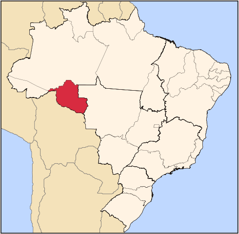
| faoi láthair | 03:17, 3 Meitheamh 2006 | | 702 × 687 (676 KB) | Raphael.lorenzeto | |
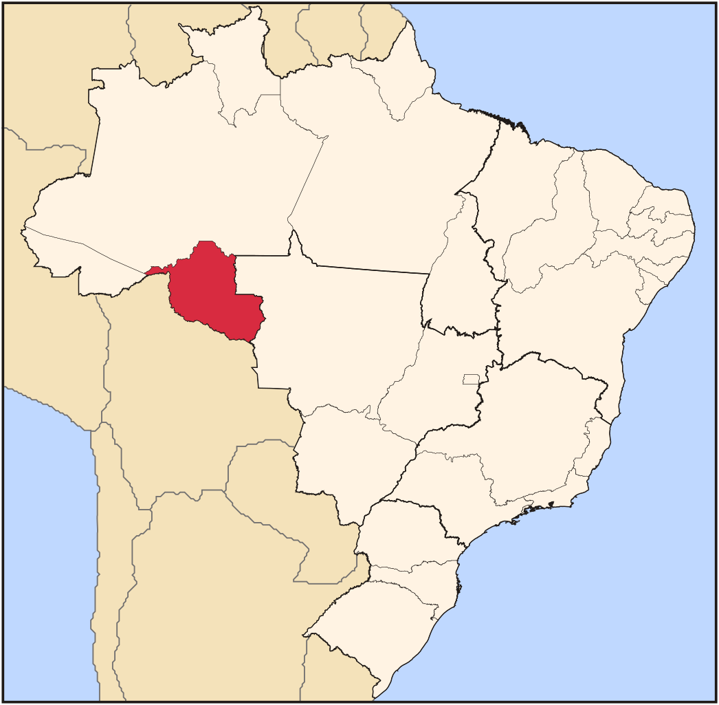
| 03:21, 22 Aibreán 2006 |  | 702 × 687 (448 KB) | Raphael.lorenzeto | {{Information| |Description=Map locator of Brazil's Rondônia state |Source=own work |Date=April, 21 2006 |Author=Raphael Lorenzeto de Abreu |Permission={{self2|GFDL|cc-by-2.5}} |other_versions= }} Category:Maps of Brazil |
Úsáid comhaid
Níl nasc ó aon leathanach eile don íomhá seo.
Global file usage
The following other wikis use this file:
- Úsáid ar af.wikipedia.org
- Úsáid ar ar.wikipedia.org
- Úsáid ar ast.wikipedia.org
- Úsáid ar bg.wikipedia.org
- Úsáid ar bpy.wikipedia.org
- Úsáid ar de.wikipedia.org
- Úsáid ar dz.wikipedia.org
- Úsáid ar en.wikipedia.org
- Rondônia
- Ji-Paraná
- Porto Velho
- Ariquemes
- Cândido Rondon
- Guajará-Mirim
- Vilhena
- Cacoal
- List of municipalities in Rondônia
- Alta Floresta d'Oeste
- Alto Alegre dos Parecis
- Alto Paraíso
- Alvorada d'Oeste
- Buritis, Rondônia
- Cabixi
- Cacaulândia
- Campo Novo de Rondônia
- Candeias do Jamari
- Castanheiras
- Cerejeiras
- Chupinguaia
- Colorado do Oeste
- Corumbiara
- Costa Marques
- Cujubim
- Espigão d'Oeste
View more global usage of this file.