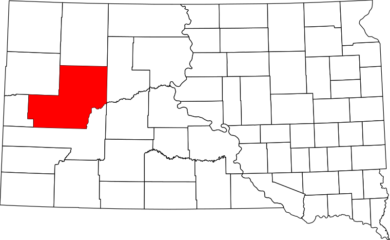
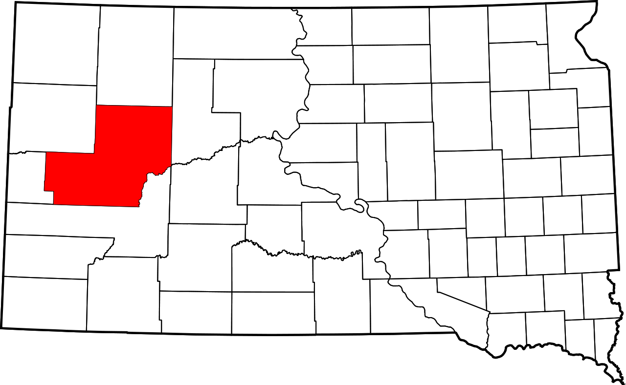
Íomhá:Map of South Dakota highlighting Meade County.svg

Size of this PNG preview of this SVG file: 800 × 492 picteilín. Other resolutions: 320 × 197 picteilín | 640 × 394 picteilín | 1,024 × 630 picteilín | 1,280 × 788 picteilín | 2,560 × 1,576 picteilín | 6,226 × 3,832 picteilín.
Taispeáin leagan ardtaifigh den íomhá (Comhad SVG, ainmniúil 6,226 × 3,832 picteilíni, méid comhaid: 47 KB)
| Seo comhad as An Cómhaoin Viciméid. Tá an tuairisc as an leathanach tuairisc Cómhaoin a leanas thíos.
|
Achoimriú
- David Benbennick made this map.
- For more information, see Commons:United States county locator maps.
| I, the copyright holder of this work, release this work into the public domain. This applies worldwide. In some countries this may not be legally possible; if so: I grant anyone the right to use this work for any purpose, without any conditions, unless such conditions are required by law. |
Stair chomhaid
Cliceáil ar dáta/am chun an comhad a radharc mar a bhí sé ag an am sin.
| Dáta/Am | Mionsamhail | Toisí | Úsáideoir | Nóta tráchta | |
|---|---|---|---|---|---|
| faoi láthair | 16:29, 12 Feabhra 2006 | | 6,226 × 3,832 (47 KB) | David Benbennick | {{subst:User:Dbenbenn/clm|county=Meade County|state=South Dakota|type=county}} |
Úsáid comhaid
Tá nasc chuig an gcomhad seo ar na leathanaigh seo a leanas:
Global file usage
The following other wikis use this file:
- Úsáid ar ar.wikipedia.org
- Úsáid ar bg.wikipedia.org
- Úsáid ar bpy.wikipedia.org
- Úsáid ar ca.wikipedia.org
- Úsáid ar cdo.wikipedia.org
- Úsáid ar ceb.wikipedia.org
- Úsáid ar ce.wikipedia.org
- Úsáid ar cs.wikipedia.org
- Úsáid ar cy.wikipedia.org
- Úsáid ar de.wikipedia.org
- Úsáid ar en.wikipedia.org
- List of counties in South Dakota
- Meade County, South Dakota
- Blackhawk, South Dakota
- Faith, South Dakota
- Sturgis, South Dakota
- Box Elder, South Dakota
- Ellsworth Air Force Base
- Elm Springs, South Dakota
- Enning, South Dakota
- Howes, South Dakota
- Piedmont, South Dakota
- Union Center, South Dakota
- Cheyenne River Indian Reservation
- Northern Cheyenne Indian Reservation
- Summerset, South Dakota
- Mud Butte, South Dakota
- White Owl, South Dakota
- Template:Meade County, South Dakota
- User:Nyttend/County templates/SD
- National Register of Historic Places listings in Meade County, South Dakota
- User:Dcmacnut/Tilford, South Dakota
- Category:Populated places in Meade County, South Dakota
View more global usage of this file.