Íomhá:Veracruz en México.svg

Size of this PNG preview of this SVG file: 800 × 536 picteilín. Other resolutions: 320 × 215 picteilín | 640 × 429 picteilín | 1,024 × 687 picteilín | 1,280 × 858 picteilín | 2,560 × 1,716 picteilín | 974 × 653 picteilín.
Taispeáin leagan ardtaifigh den íomhá (Comhad SVG, ainmniúil 974 × 653 picteilíni, méid comhaid: 218 KB)
| Seo comhad as An Cómhaoin Viciméid. Tá an tuairisc as an leathanach tuairisc Cómhaoin a leanas thíos.
|
| Tuairisc |
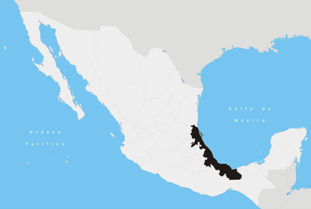
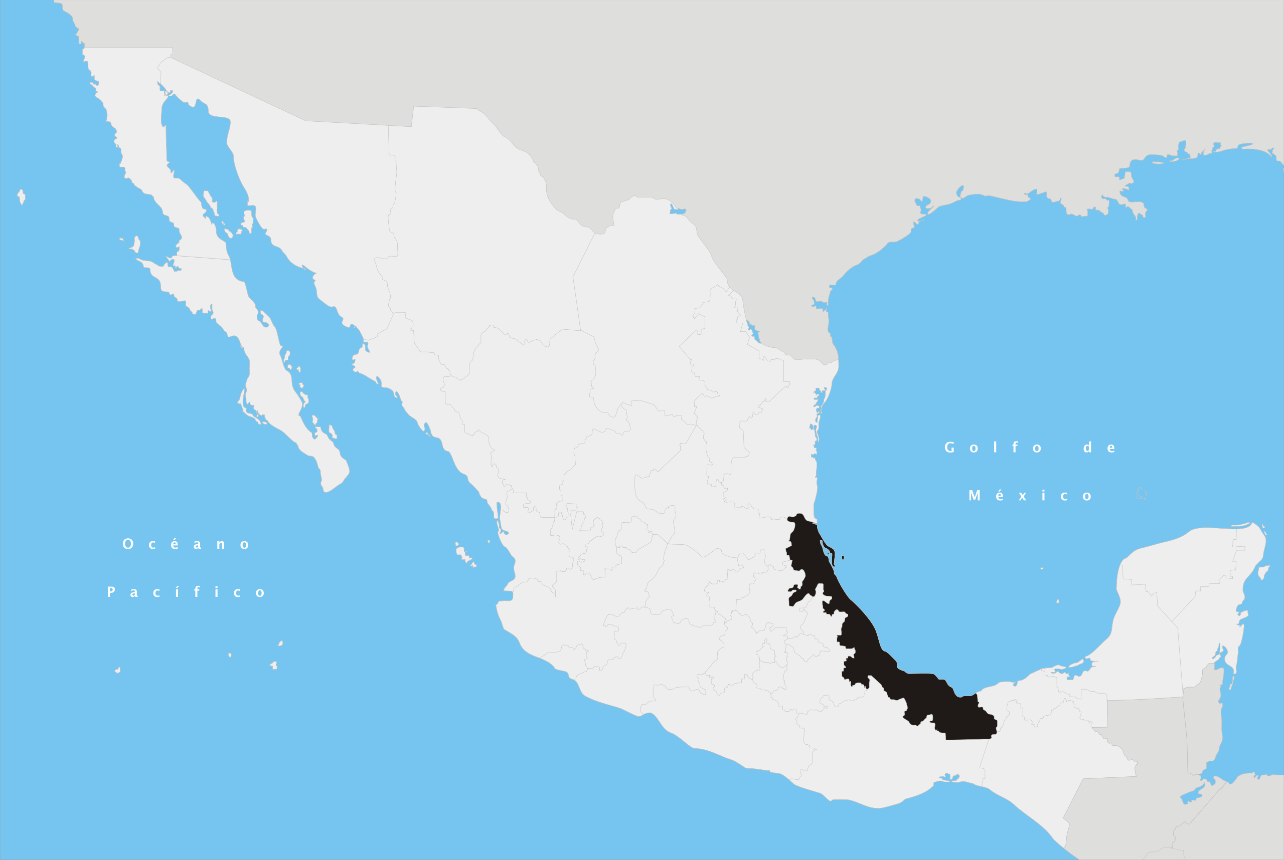
Español: Ubicación del estado de Veracruz en la República Mexicana |
||
| Dáta | |||
| Foinse | Obair féin | ||
| Údar | Yavidaxiu | ||
| Ceadúnas (Athúsáid a bhaint as an gcomhad seo) |
|
Stair chomhaid
Cliceáil ar dáta/am chun an comhad a radharc mar a bhí sé ag an am sin.
| Dáta/Am | Mionsamhail | Toisí | Úsáideoir | Nóta tráchta | |
|---|---|---|---|---|---|
| faoi láthair | 18:01, 27 Aibreán 2007 | | 974 × 653 (218 KB) | Yavidaxiu | {{Information |Description={{es|Ubicación del estado de Veracruz en la República Mexicana}} |Source= Trabajo propio |Date= 20 de abril de 2007 |Author= Yavidaxiu |Permission= {{PD-self}} |other_versions= }} Category:Maps of Veracruz [[Category:Maps |
Úsáid comhaid
Níl nasc ó aon leathanach eile don íomhá seo.
Global file usage
The following other wikis use this file:
- Úsáid ar af.wikipedia.org
- Úsáid ar en.wikipedia.org
- Papaloapan River
- Tlalixcoyan
- Fortín de las Flores
- Perote, Veracruz
- Huatusco
- Jalacingo
- Atzalán
- Cosamaloapan
- Ixtaczoquitlán
- Teocelo
- Emiliano Zapata Municipality, Veracruz
- Calcahualco
- Tlapacoyan
- Paso de Ovejas
- Ixhuatlán del Café
- Gutiérrez Zamora
- Cotaxtla
- Tlalnelhuayocan
- Las Vigas de Ramírez
- Puente Nacional, Veracruz
- Nopaltepec, Veracruz
- Las Choapas
- Xico, Veracruz
- Alto Lucero
- Ixhuacán
- Tenochtitlán, Veracruz
- Veracruz Canyon
- Jamapa
- José Cardel, Veracruz
- Tlachichilco
- Cabo Rojo (Mexico)
- Colipa, Veracruz
- Jamapa River
- Hidalgotitlán
- Martínez de la Torre
- Tierra Blanca, Veracruz
- Costa Esmeralda
- Manlio Fabio Altamirano, Veracruz
- Nautla, Veracruz
- Colonia Manuel González
- Template:Veracruz-geo-stub
- Playa Chachalacas
- Sedeño River
- Carneros River
- Sordo River (Mexico)
- Santiago River (Eastern Mexico)
- Castillo River
- Coapexpan River
View more global usage of this file.