Íomhá:Australia Western Australia location map blank.svg

Taispeáin leagan ardtaifigh den íomhá (Comhad SVG, ainmniúil 1,205 × 1,738 picteilíni, méid comhaid: 746 KB)
| Seo comhad as An Cómhaoin Viciméid. Tá an tuairisc as an leathanach tuairisc Cómhaoin a leanas thíos.
|
| Tuairisc |
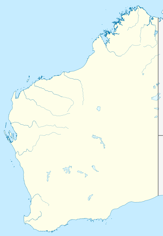
Quadratische Plattkarte, N-S-Streckung 110 %. Geographische Begrenzung der Karte:
Equirectangular projection, N/S stretching 110 %. Geographic limits of the map:
|
|
| Dáta | (UTC) | |
| Foinse |
|
|
| Údar |
|
|
| Ceadúnas (Athúsáid a bhaint as an gcomhad seo) |
This file is licensed under the Creative Commons Attribution-Share Alike 3.0 Germany license.
 |


|
This map has been made or improved in the German Kartenwerkstatt (Map Lab). You can propose maps to improve as well.
|
- Is féidir:
- an saothar seo a roinnt – an saothar seo a chóipeáil, a dháil amach, agus a tharchur
- an saothar seo a athmheascadh – an saothar seo a oiriúnú
- Ach amháin má leantar na coinníollacha seo a leanas:
- sannadh – Ní mor creidiúint a thabhairt leis an saothar, faoi mar a shonraigh an údar nó tabharthóir an ceadúnais (ach ná húsáid modh a thugann le fios go thacaíonn sé/sí tú féin nó an úsáid a bhaineann tú as an saothar).
- comhroinn araon – Má athraíonn tú nó síneann tú amach an saothar seo, ní féidir é a dháileadh ach amhaín faoin gceadúnas céanna nó ceann cosúil leis an gceann seo.
Original upload log
This image is a derivative work of the following images:
- File:Australia_Western_Australia_location_map.svg licensed with Cc-by-sa-3.0
- 2010-04-04T22:09:38Z Chumwa 1205x1738 (857076 Bytes) Reverted to version as of 21:21, 23 January 2010
- 2010-04-04T21:44:58Z Roke 1205x1738 (763706 Bytes) local government low salience, dont appear on general use maps
- 2010-01-23T21:21:43Z NordNordWest 1205x1738 (857076 Bytes) =={{int:filedesc}}== {{Information |Description= {{de|Positionskarte von [[:de:Western Australia|Western Australia]], [[:de:Australien|Australien]]}} Quadratische Plattkarte, N-S-Streckung 110 %. Geographische Begrenzung der
Uploaded with derivativeFX
Stair chomhaid
Cliceáil ar dáta/am chun an comhad a radharc mar a bhí sé ag an am sin.
| Dáta/Am | Mionsamhail | Toisí | Úsáideoir | Nóta tráchta | |
|---|---|---|---|---|---|
| faoi láthair | 00:29, 10 Aibreán 2010 | | 1,205 × 1,738 (746 KB) | Roke~commonswiki | {{Information |Description={{de|Positionskarte von Western Australia, Australien}} Quadratische Plattkarte, N-S-Streckung 110 %. Geographische Begrenzung der Karte: * N: 13.2° S * S: 35.5° S * W: 112.5° O * |
Úsáid comhaid
Níl nasc ó aon leathanach eile don íomhá seo.
Global file usage
The following other wikis use this file:
- Úsáid ar ar.wikipedia.org
- Úsáid ar ast.wikipedia.org
- Úsáid ar ceb.wikipedia.org
- Úsáid ar ckb.wikipedia.org
- Úsáid ar da.wikipedia.org
- Úsáid ar de.wikipedia.org
- Úsáid ar en.wikipedia.org
- Úsáid ar fa.wikipedia.org
- Úsáid ar gl.wikipedia.org
- Úsáid ar ja.wikipedia.org
- Úsáid ar ka.wikipedia.org
- Úsáid ar kn.wikipedia.org
- Úsáid ar ko.wikipedia.org
- Úsáid ar mk.wikipedia.org
- Úsáid ar ml.wikipedia.org
- Úsáid ar no.wikipedia.org
- Úsáid ar pl.wikipedia.org
- Úsáid ar pl.wikibooks.org
- Úsáid ar pt.wikipedia.org
- Úsáid ar ro.wikipedia.org
- Úsáid ar sco.wikipedia.org
- Úsáid ar shn.wikipedia.org
- Úsáid ar simple.wikipedia.org
- Úsáid ar si.wikipedia.org
- Úsáid ar sl.wikipedia.org
- Úsáid ar tr.wikipedia.org
- Úsáid ar uk.wikipedia.org
View more global usage of this file.