Íomhá:EnglandDurham.svg

Size of this PNG preview of this SVG file: 200 × 247 picteilín. Other resolutions: 194 × 240 picteilín | 389 × 480 picteilín | 622 × 768 picteilín | 829 × 1,024 picteilín | 1,658 × 2,048 picteilín.
Taispeáin leagan ardtaifigh den íomhá (Comhad SVG, ainmniúil 200 × 247 picteilíni, méid comhaid: 233 KB)
| Seo comhad as An Cómhaoin Viciméid. Tá an tuairisc as an leathanach tuairisc Cómhaoin a leanas thíos.
|
Achoimriú
| Tuairisc |
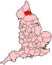
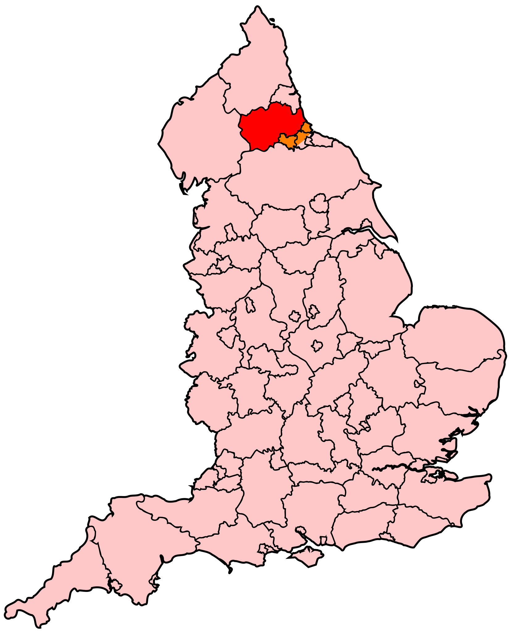
English: Map of County Durham within England. |
| Foinse | Obair féin |
| Údar | Wereon |
Ceadúnú
| I, the copyright holder of this work, release this work into the public domain. This applies worldwide. In some countries this may not be legally possible; if so: I grant anyone the right to use this work for any purpose, without any conditions, unless such conditions are required by law. |
Stair chomhaid
Cliceáil ar dáta/am chun an comhad a radharc mar a bhí sé ag an am sin.
| Dáta/Am | Mionsamhail | Toisí | Úsáideoir | Nóta tráchta | |
|---|---|---|---|---|---|
| faoi láthair | 23:37, 26 Aibreán 2007 | | 200 × 247 (233 KB) | Wereon | Map of County Durham within England. Category:Maps of counties of England |
Úsáid comhaid
Níl nasc ó aon leathanach eile don íomhá seo.
Global file usage
The following other wikis use this file:
- Úsáid ar be.wikipedia.org
- Úsáid ar cy.wikipedia.org
- Úsáid ar en.wikipedia.org
- History of County Durham
- Sedgefield (UK Parliament constituency)
- Easington (UK Parliament constituency)
- City of Durham (UK Parliament constituency)
- North West Durham (UK Parliament constituency)
- North Durham (UK Parliament constituency)
- Darlington (UK Parliament constituency)
- Bishop Auckland (UK Parliament constituency)
- 2009 structural changes to local government in England
- Úsáid ar en.wikinews.org
- Úsáid ar fr.wikipedia.org
- Úsáid ar ko.wikipedia.org
- Úsáid ar pl.wikipedia.org
- Úsáid ar ru.wikipedia.org
- Úsáid ar uk.wikipedia.org