Íomhá:Map of Alaska highlighting Yakutat City and Borough.svg

Size of this PNG preview of this SVG file: 800 × 423 picteilín. Other resolutions: 320 × 169 picteilín | 640 × 338 picteilín | 1,024 × 541 picteilín | 1,280 × 677 picteilín | 2,560 × 1,353 picteilín | 1,470 × 777 picteilín.
Taispeáin leagan ardtaifigh den íomhá (Comhad SVG, ainmniúil 1,470 × 777 picteilíni, méid comhaid: 789 KB)
| Seo comhad as An Cómhaoin Viciméid. Tá an tuairisc as an leathanach tuairisc Cómhaoin a leanas thíos.
|
Achoimriú
| Tuairisc |
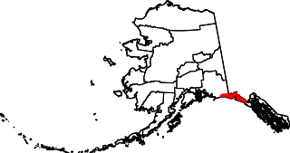
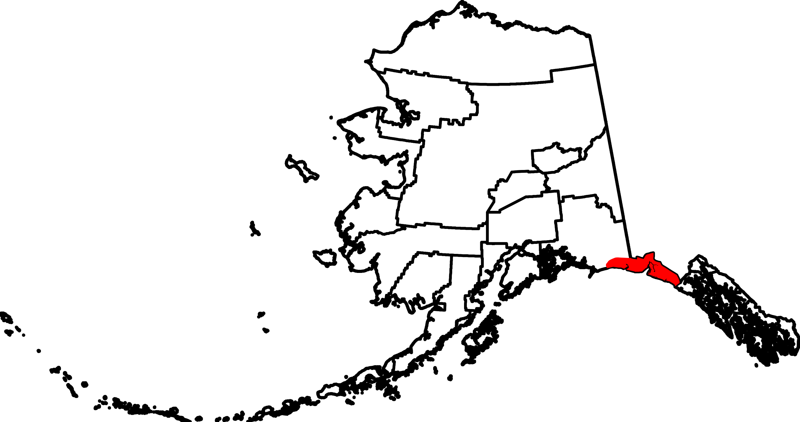
English: This is a locator map showing Yakutat City and Borough in Alaska |
| Dáta | |
| Foinse |
Obair féin: English: The maps use data from nationalatlas.gov, specifically countyp020.tar.gz on the Raw Data Download page. The maps also use state outline data from statesp020.tar.gz. The Florida maps use hydrogm020.tar.gz to display Lake Okeechobee. |
| Údar | David Benbennick |
| SVG genesis |
Ceadúnú
| I, the copyright holder of this work, release this work into the public domain. This applies worldwide. In some countries this may not be legally possible; if so: I grant anyone the right to use this work for any purpose, without any conditions, unless such conditions are required by law. |
Stair chomhaid
Cliceáil ar dáta/am chun an comhad a radharc mar a bhí sé ag an am sin.
| Dáta/Am | Mionsamhail | Toisí | Úsáideoir | Nóta tráchta | |
|---|---|---|---|---|---|
| faoi láthair | 20:32, 24 Lúnasa 2018 | | 1,470 × 777 (789 KB) | NordNordWest | correct |
| 15:49, 13 Feabhra 2009 |  | 1,470 × 777 (370 KB) | Niagara | correct | |
| 19:30, 5 Márta 2006 |  | 1,470 × 777 (338 KB) | David Benbennick | {{subst:User:Dbenbenn/clm|county=Yakutat City and Borough|state=Alaska|type=borough and census area}} |
Úsáid comhaid
Tá nasc chuig an gcomhad seo ar na leathanaigh seo a leanas:
Global file usage
The following other wikis use this file:
- Úsáid ar ar.wikipedia.org
- Úsáid ar arz.wikipedia.org
- Úsáid ar azb.wikipedia.org
- Úsáid ar bpy.wikipedia.org
- Úsáid ar ca.wikipedia.org
- Úsáid ar ceb.wikipedia.org
- Úsáid ar ce.wikipedia.org
- Úsáid ar cy.wikipedia.org
- Úsáid ar de.wikipedia.org
- Úsáid ar en.wikipedia.org
- List of boroughs and census areas in Alaska
- Yakutat, Alaska
- Disenchantment Bay
- Yakutat Bay
- Russell Fiord
- Bering Glacier
- Vitus Lake
- Yahtse Glacier
- Guyot Glacier
- Wikipedia:WikiProject Alaska
- Mount Alverstone
- Mount Steller (Chugach Mountains)
- Fairweather Range
- Haenke Island
- Variegated Glacier
- New Russia (trading post)
- User:Nyttend/County templates/AK
- Template:Yakutat Borough, Alaska
- Mount Root
- Template:YakutatAK-geo-stub
- National Register of Historic Places listings in Yakutat, Alaska
- Situk River
- Cape Yakataga, Alaska
- Yahtse River
- Agassiz Glacier (Alaska)
- Yakutat Glacier
- Brabazon Range
- Mount Aylesworth
- Mount Armour
- Mount Duff (Yakutat)
- Mount Jetté
- Mount Herbert (Yakutat)
- Mount Lodge (Yakutat)
- Mount Hay (Yakutat)
- Mount Barnard (Alsek Ranges)
- Mount Harris
- User:AridCeption/sandbox
- Tyndall Glacier (Alaska)
- Úsáid ar eo.wikipedia.org
- Úsáid ar es.wikipedia.org
View more global usage of this file.