Íomhá:Map of Florida highlighting Wakulla County.svg

Size of this PNG preview of this SVG file: 601 × 599 picteilín. Other resolutions: 241 × 240 picteilín | 481 × 480 picteilín | 770 × 768 picteilín | 1,027 × 1,024 picteilín | 2,054 × 2,048 picteilín | 7,342 × 7,321 picteilín.
Taispeáin leagan ardtaifigh den íomhá (Comhad SVG, ainmniúil 7,342 × 7,321 picteilíni, méid comhaid: 363 KB)
| Seo comhad as An Cómhaoin Viciméid. Tá an tuairisc as an leathanach tuairisc Cómhaoin a leanas thíos.
|
W3C-validity not checked.
Achoimriú
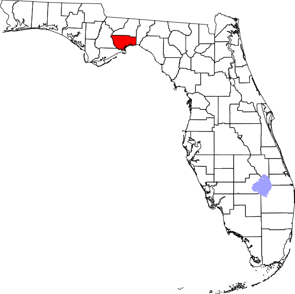
This is a locator map showing Wakulla County in Florida.
David Benbennick made this map. For more information, see Commons:United States county locator maps.
Ceadúnú
| I, the copyright holder of this work, release this work into the public domain. This applies worldwide. In some countries this may not be legally possible; if so: I grant anyone the right to use this work for any purpose, without any conditions, unless such conditions are required by law. |
Stair chomhaid
Cliceáil ar dáta/am chun an comhad a radharc mar a bhí sé ag an am sin.
| Dáta/Am | Mionsamhail | Toisí | Úsáideoir | Nóta tráchta | |
|---|---|---|---|---|---|
| faoi láthair | 14:22, 4 Aibreán 2013 | | 7,342 × 7,321 (363 KB) | Citypeek | Cleanup of file. Valid SVG now. |
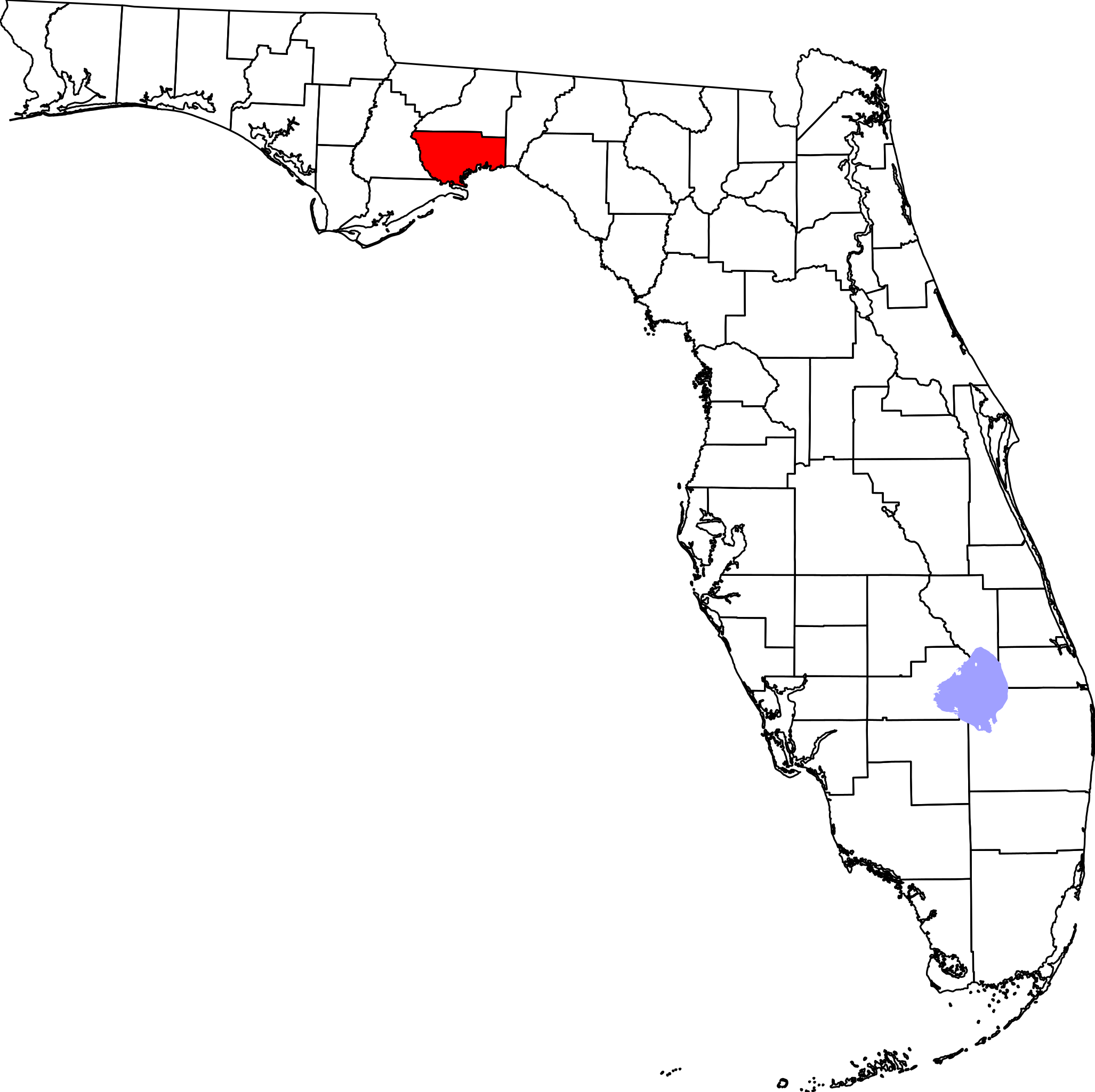
| 05:46, 14 Feabhra 2006 |  | 7,342 × 7,321 (310 KB) | David Benbennick | New version with Lake Okeechobee | |
| 10:54, 12 Feabhra 2006 |  | 7,342 × 7,321 (307 KB) | David Benbennick | {{subst:User:Dbenbenn/clm|county=Wakulla County|state=Florida}} |
Úsáid comhaid
Tá nasc chuig an gcomhad seo ar na leathanaigh seo a leanas:
Global file usage
The following other wikis use this file:
- Úsáid ar ar.wikipedia.org
- Úsáid ar azb.wikipedia.org
- Úsáid ar bg.wikipedia.org
- Úsáid ar bpy.wikipedia.org
- Úsáid ar cdo.wikipedia.org
- Úsáid ar ceb.wikipedia.org
- Úsáid ar ce.wikipedia.org
- Úsáid ar cy.wikipedia.org
- Úsáid ar de.wikipedia.org
- Úsáid ar en.wikipedia.org
- List of counties in Florida
- Wakulla County, Florida
- Sopchoppy, Florida
- St. Marks, Florida
- Crawfordville, Florida
- Shell Point, Florida
- Panacea, Florida
- Shadeville, Florida
- Newport, Florida
- Medart, Florida
- Template:Wakulla County, Florida
- Wakulla Beach, Florida
- Magnolia, Florida
- Port Leon, Florida
- Hilliardville, Florida
- Category:Wikipedia requested photographs in Wakulla County, Florida
- User:Nyttend/County templates/FL
- National Register of Historic Places listings in Wakulla County, Florida
- Ochlockonee Bay, Florida
- Category:Populated places in Wakulla County, Florida
- Bethel, Florida
- Úsáid ar es.wikipedia.org
- Úsáid ar et.wikipedia.org
- Úsáid ar eu.wikipedia.org
- Úsáid ar fa.wikipedia.org
View more global usage of this file.