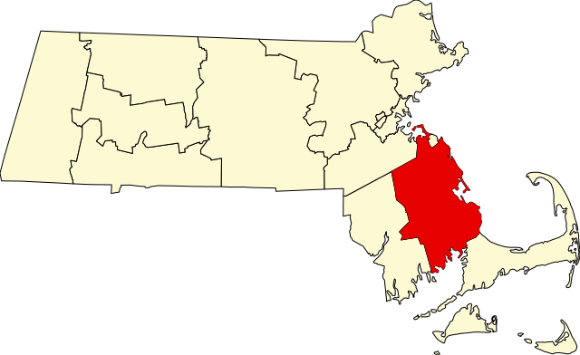
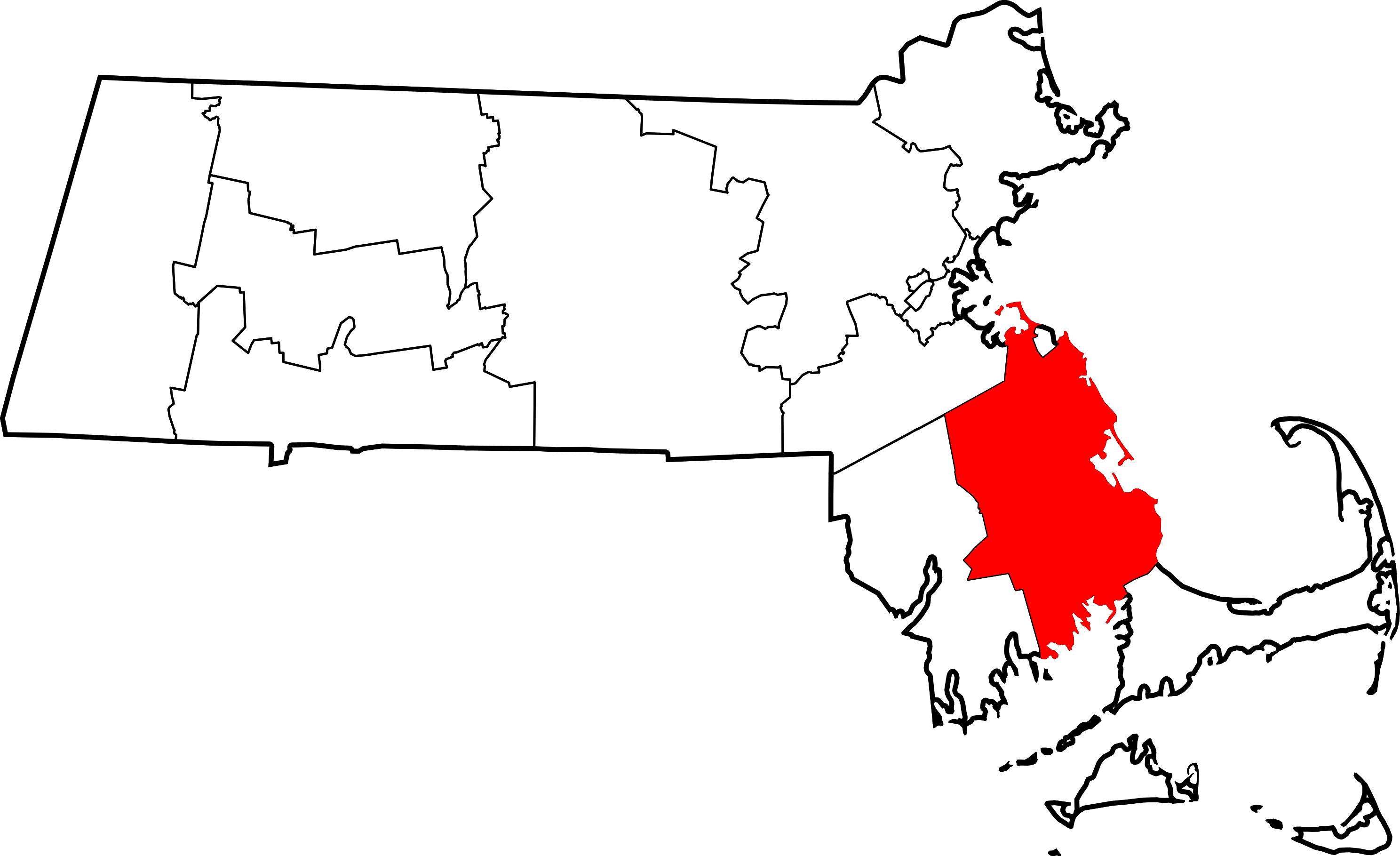
Íomhá:Map of Massachusetts highlighting Plymouth County.svg

Size of this PNG preview of this SVG file: 800 × 489 picteilín. Other resolutions: 320 × 196 picteilín | 640 × 391 picteilín | 1,024 × 626 picteilín | 1,280 × 782 picteilín | 2,560 × 1,565 picteilín | 2,976 × 1,819 picteilín.
Taispeáin leagan ardtaifigh den íomhá (Comhad SVG, ainmniúil 2,976 × 1,819 picteilíni, méid comhaid: 43 KB)
| Seo comhad as An Cómhaoin Viciméid. Tá an tuairisc as an leathanach tuairisc Cómhaoin a leanas thíos.
|
Achoimriú
| Tuairisc |
|
| Dáta | 12 Feabhra 2006 (original upload date) |
| Foinse | No machine-readable source provided. Own work assumed (based on copyright claims). |
| Údar | No machine-readable author provided. David Benbennick assumed (based on copyright claims). |
Ceadúnú
| I, the copyright holder of this work, release this work into the public domain. This applies worldwide. In some countries this may not be legally possible; if so: I grant anyone the right to use this work for any purpose, without any conditions, unless such conditions are required by law. |
Stair chomhaid
Cliceáil ar dáta/am chun an comhad a radharc mar a bhí sé ag an am sin.
| Dáta/Am | Mionsamhail | Toisí | Úsáideoir | Nóta tráchta | |
|---|---|---|---|---|---|
| faoi láthair | 12:50, 12 Feabhra 2006 | | 2,976 × 1,819 (43 KB) | David Benbennick | {{subst:User:Dbenbenn/clm|county=Plymouth County|state=Massachusetts|type=county}} |
Úsáid comhaid
Tá nasc chuig an gcomhad seo ar na leathanaigh seo a leanas:
Global file usage
The following other wikis use this file:
- Úsáid ar ar.wikipedia.org
- Úsáid ar bg.wikipedia.org
- Úsáid ar bpy.wikipedia.org
- Úsáid ar ca.wikipedia.org
- Abington (Massachusetts)
- Bridgewater (Massachusetts)
- Brockton (Massachusetts)
- Carver (Massachusetts)
- Duxbury (Massachusetts)
- East Bridgewater
- Halifax (Massachusetts)
- Hanson (Massachusetts)
- Hingham (Massachusetts)
- Hull (Massachusetts)
- Kingston (Massachusetts)
- Lakeville (Massachusetts)
- Marion (Massachusetts)
- Marshfield (Massachusetts)
- Mattapoisett
- Middleborough
- Norwell
- Pembroke (Massachusetts)
- Plymouth (Massachusetts)
- Plympton
- Rochester (Massachusetts)
- Rockland (Massachusetts)
- Scituate (Massachusetts)
- Wareham
- West Bridgewater
- Whitman
- Plantilla:Comtat de Plymouth (Massachusetts)
- Úsáid ar cdo.wikipedia.org
- Úsáid ar ceb.wikipedia.org
- Úsáid ar ce.wikipedia.org
- Úsáid ar cy.wikipedia.org
- Úsáid ar da.wikipedia.org
- Úsáid ar de.wikipedia.org
- Plymouth County (Massachusetts)
- World’s End (Massachusetts)
- East Over Reservation
- Holmes Reservation
- Lyman Reserve
- Norris Reservation
- Vorlage:Navigationsleiste Schutzgebiete der Trustees of Reservations im Plymouth County
- Two Mile Farm
- Weir River Farm
- Liste der Einträge im National Register of Historic Places im Plymouth County (Massachusetts)
- Vorlage:Navigationsleiste Orte im Plymouth County (Massachusetts)
View more global usage of this file.