Íomhá:Map of New Mexico highlighting Sierra County.svg

Taispeáin leagan ardtaifigh den íomhá (Comhad SVG, ainmniúil 5,677 × 6,312 picteilíni, méid comhaid: 31 KB)
| Seo comhad as An Cómhaoin Viciméid. Tá an tuairisc as an leathanach tuairisc Cómhaoin a leanas thíos.
|
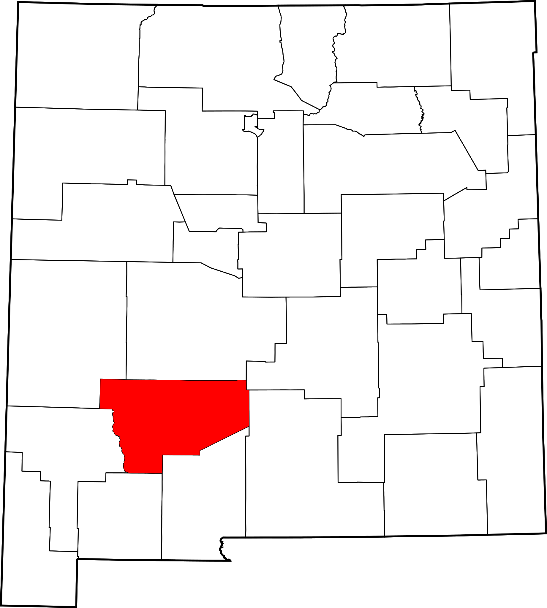
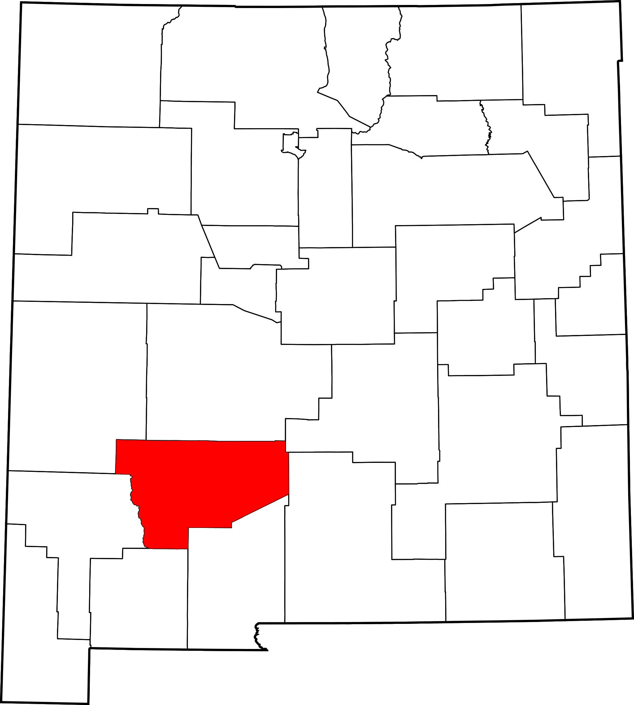
This is a locator map showing Sierra County in New Mexico.
David Benbennick made this map. For more information, see Commons:United States county locator maps. Or see any of the New Mexico county locator maps: Bernalillo · Catron · Chaves · Cibola · Colfax · Curry · De Baca · Doña Ana · Eddy · Grant · Guadalupe · Harding · Hidalgo · Lea · Lincoln · Los Alamos · Luna · McKinley · Mora · Otero · Quay · Rio Arriba · Roosevelt · Sandoval · San Juan · San Miguel · Santa Fe · Sierra · Socorro · Taos · Torrance · Union · Valencia.
| I, the copyright holder of this work, release this work into the public domain. This applies worldwide. In some countries this may not be legally possible; if so: I grant anyone the right to use this work for any purpose, without any conditions, unless such conditions are required by law. |
Stair chomhaid
Cliceáil ar dáta/am chun an comhad a radharc mar a bhí sé ag an am sin.
| Dáta/Am | Mionsamhail | Toisí | Úsáideoir | Nóta tráchta | |
|---|---|---|---|---|---|
| faoi láthair | 15:31, 12 Feabhra 2006 | | 5,677 × 6,312 (31 KB) | David Benbennick | {{subst:User:Dbenbenn/clm|county=Sierra County|state=New Mexico|type=county}} |
Úsáid comhaid
Tá nasc chuig an gcomhad seo ar na leathanaigh seo a leanas:
Global file usage
The following other wikis use this file:
- Úsáid ar ar.wikipedia.org
- Úsáid ar bpy.wikipedia.org
- Úsáid ar cdo.wikipedia.org
- Úsáid ar ceb.wikipedia.org
- Úsáid ar ce.wikipedia.org
- Úsáid ar cy.wikipedia.org
- Úsáid ar de.wikipedia.org
- Úsáid ar en.wikipedia.org
- List of counties in New Mexico
- Sierra County, New Mexico
- Elephant Butte, New Mexico
- Truth or Consequences, New Mexico
- Williamsburg, New Mexico
- Hillsboro, New Mexico
- Arrey, New Mexico
- Upham, New Mexico
- Hermosa, New Mexico
- Lake Valley, Sierra County, New Mexico
- Template:Sierra County, New Mexico
- User:Nyttend/County templates/NM
- National Register of Historic Places listings in Sierra County, New Mexico
- Category:Populated places in Sierra County, New Mexico
- Caballo, New Mexico
- Winston, New Mexico
- Hot Springs Landing, New Mexico
- Kingston, New Mexico
- Las Palomas, New Mexico
- Oasis, New Mexico
- Derry, New Mexico
- Monticello, New Mexico
- Engle, New Mexico
- Cuchillo, New Mexico
- Chloride, New Mexico
- Elephant Butte, Sierra County, New Mexico
- Placitas, Sierra County, New Mexico
- User:AridCeption/sandbox
- Úsáid ar es.wikipedia.org
- Úsáid ar et.wikipedia.org
- Úsáid ar eu.wikipedia.org
- Úsáid ar fa.wikipedia.org
View more global usage of this file.