Íomhá:UEFA Euro 2012 en.svg

Taispeáin leagan ardtaifigh den íomhá (Comhad SVG, ainmniúil 1,000 × 639 picteilíni, méid comhaid: 178 KB)
| Seo comhad as An Cómhaoin Viciméid. Tá an tuairisc as an leathanach tuairisc Cómhaoin a leanas thíos.
|
Achoimriú
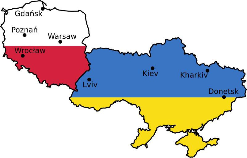
| Tuairisc | Euro 2012 venues, based on UN East Europe map. | |||||
| Dáta | 2004, April 2007 | |||||
| Foinse | [1] | |||||
| Údar | United Nations Cartographic Section, Alex Khristov. | |||||
| Ceadúnas (Athúsáid a bhaint as an gcomhad seo) |
|
|||||
| Leaganacha eile |
[]
|


Stair chomhaid
Cliceáil ar dáta/am chun an comhad a radharc mar a bhí sé ag an am sin.
| Dáta/Am | Mionsamhail | Toisí | Úsáideoir | Nóta tráchta | |
|---|---|---|---|---|---|
| faoi láthair | 07:25, 11 Deireadh Fómhair 2009 | | 1,000 × 639 (178 KB) | Sliwers | Only cities that have been selected or may be selected. |
| 11:48, 22 Aibreán 2007 |  | 1,000 × 639 (218 KB) | Akhristov | Fonts to paths, plain SVG. | |
| 11:44, 22 Aibreán 2007 |  | 1,000 × 639 (153 KB) | Akhristov | {{Information| |Description=Euro 2012 venues, based on UN East Europe map. |Source=http://www.un.org/Depts/Cartographic/map/profile/easteuro.pdf |Date=2004, April 2007 |Author=United Nations Cartographic Section, Alex Khristov. |Permission={{UN map}}{{PD- |
Úsáid comhaid
Tá nasc chuig an gcomhad seo ar na leathanaigh seo a leanas:
Global file usage
The following other wikis use this file:
- Úsáid ar ast.wikipedia.org
- Úsáid ar az.wikipedia.org
- Úsáid ar bg.wikipedia.org
- Úsáid ar bs.wikipedia.org
- Úsáid ar ca.wikipedia.org
- Úsáid ar da.wikipedia.org
- Úsáid ar en.wikipedia.org
- Úsáid ar en.wikivoyage.org
- Úsáid ar et.wikipedia.org
- Úsáid ar eu.wikipedia.org
- Úsáid ar fi.wikipedia.org
- Úsáid ar fr.wikinews.org
- Úsáid ar gl.wikipedia.org
- Úsáid ar ko.wikipedia.org
- Úsáid ar lb.wikipedia.org
- Úsáid ar lt.wikipedia.org
- Úsáid ar mk.wikipedia.org
- Úsáid ar nl.wikipedia.org
- Úsáid ar nn.wikipedia.org
- Úsáid ar no.wikipedia.org
- Úsáid ar pap.wikipedia.org
- Úsáid ar pt.wikipedia.org
- Úsáid ar ru.wikipedia.org
- Úsáid ar ru.wikinews.org
- Úsáid ar sl.wikipedia.org
- Úsáid ar sq.wikinews.org
- Úsáid ar sr.wikipedia.org
- Úsáid ar vep.wikipedia.org
- Úsáid ar www.wikidata.org
- Úsáid ar zh.wikipedia.org