Íomhá:WatfordSkyline.jpg
Size of this preview: 800 × 148 picteilín. Other resolutions: 320 × 59 picteilín | 1,593 × 295 picteilín.
Taispeáin leagan ardtaifigh den íomhá (1,593 × 295 picteilín, méid comhaid: 314 KB, cineál MIME: image/jpeg)
| Seo comhad as An Cómhaoin Viciméid. Tá an tuairisc as an leathanach tuairisc Cómhaoin a leanas thíos.
|
Achoimriú
| Tuairisc |
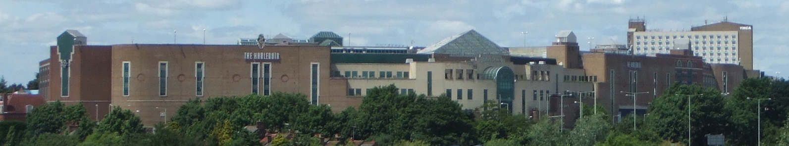
English: The town of Watford in Hertfordshire, England, UK, viewed from the West Coast Main Line to the southeast. |
| Foinse | Obair féin |
| Údar | Kanguole |
| Camera location | | View this and other nearby images on: OpenStreetMap |
|---|
_region:GB-HRT_&language=ga)
Ceadúnú
| I, the copyright holder of this work, release this work into the public domain. This applies worldwide. In some countries this may not be legally possible; if so: I grant anyone the right to use this work for any purpose, without any conditions, unless such conditions are required by law. |
Stair chomhaid
Cliceáil ar dáta/am chun an comhad a radharc mar a bhí sé ag an am sin.
| Dáta/Am | Mionsamhail | Toisí | Úsáideoir | Nóta tráchta | |
|---|---|---|---|---|---|
| faoi láthair | 12:30, 23 Meitheamh 2008 | 1,593 × 295 (314 KB) | Kanguole | {{Information |Description=The town of Watford in Hertfordshire, England, UK, viewed from the West Coast Main Line to the southeast |Source= |Date=2008-06-23 |Author=Kanguole |Permission= |other_versions= }} Category:Watford | |
| 11:03, 19 Meitheamh 2008 | 1,106 × 175 (125 KB) | Kanguole | {{Information |Description={{en|1=The town of Watford in Hertfordshire, England, UK, viewed from the West Coast Main Line to the southeast.}} |Source=Own work by uploader |Author=Kanguole |Date= |Permission= |other_versions= }} {{locatio |
Úsáid comhaid
Níl nasc ó aon leathanach eile don íomhá seo.
Global file usage
The following other wikis use this file:
- Úsáid ar ceb.wikipedia.org
- Úsáid ar de.wikipedia.org
- Úsáid ar eo.wikipedia.org
- Úsáid ar fa.wikipedia.org
- Úsáid ar he.wikipedia.org
- Úsáid ar hu.wikipedia.org
- Úsáid ar id.wikipedia.org
- Úsáid ar nn.wikipedia.org
- Úsáid ar pl.wikipedia.org
- Úsáid ar pl.wikivoyage.org
- Úsáid ar pt.wikipedia.org
- Úsáid ar sco.wikipedia.org
- Úsáid ar sv.wikipedia.org
- Úsáid ar szl.wikipedia.org
- Úsáid ar ur.wikipedia.org
- Úsáid ar war.wikipedia.org
- Úsáid ar zh.wikipedia.org