Íomhá:HyogoMapCurrent.png
Size of this preview: 666 × 599 picteilín. Other resolutions: 267 × 240 picteilín | 533 × 480 picteilín | 1,001 × 901 picteilín.
Taispeáin leagan ardtaifigh den íomhá (1,001 × 901 picteilín, méid comhaid: 38 KB, cineál MIME: image/png)
| Seo comhad as An Cómhaoin Viciméid. Tá an tuairisc as an leathanach tuairisc Cómhaoin a leanas thíos.
|
Achoimriú
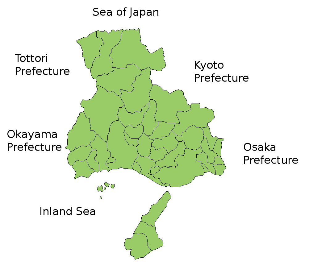
Map of Hyogo Prefecture, Japan.
Thanks to Aoki Shigenobu and [1]. Colors from Image:TokyoMapCurrent.png by User:Fg2.
Ceadúnú

|
Shigenobu AOKI, the copyright holder of this work, allows anyone to use it for any purpose including unrestricted redistribution, commercial use, and modification. |
Stair chomhaid
Cliceáil ar dáta/am chun an comhad a radharc mar a bhí sé ag an am sin.
| Dáta/Am | Mionsamhail | Toisí | Úsáideoir | Nóta tráchta | |
|---|---|---|---|---|---|
| faoi láthair | 10:58, 18 Iúil 2006 | | 1,001 × 901 (38 KB) | Akanemoto~commonswiki | Map of Hyogo Prefecture, Japan. Thanks to Aoki Shigenobu and [http://aoki2.si.gunma-u.ac.jp/map/map.html]. Colors from Image:TokyoMapCurrent.png by User:Fg2. Category:Maps of Hyogo prefecture Category:Maps in English |
Úsáid comhaid
Níl nasc ó aon leathanach eile don íomhá seo.
Global file usage
The following other wikis use this file:
- Úsáid ar az.wikipedia.org
- Úsáid ar be.wikipedia.org
- Úsáid ar ckb.wikipedia.org
- Úsáid ar cs.wikipedia.org
- Úsáid ar eu.wikipedia.org
- Úsáid ar hu.wikipedia.org
- Úsáid ar ilo.wikipedia.org
- Úsáid ar jv.wikipedia.org
- Úsáid ar lt.wikipedia.org
- Úsáid ar ms.wikipedia.org
- Úsáid ar no.wikipedia.org
- Úsáid ar pt.wikipedia.org
- Úsáid ar ru.wikipedia.org
- Úsáid ar sv.wikipedia.org