Íomhá:Karte Bundesrepublik Deutschland.svg

Size of this PNG preview of this SVG file: 443 × 599 picteilín. Other resolutions: 177 × 240 picteilín | 355 × 480 picteilín | 567 × 768 picteilín | 757 × 1,024 picteilín | 1,513 × 2,048 picteilín | 592 × 801 picteilín.
Taispeáin leagan ardtaifigh den íomhá (Comhad SVG, ainmniúil 592 × 801 picteilíni, méid comhaid: 108 KB)
| Seo comhad as An Cómhaoin Viciméid. Tá an tuairisc as an leathanach tuairisc Cómhaoin a leanas thíos.
|
| Tuairisc |
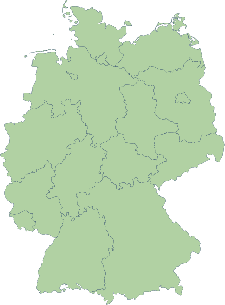
English: Germany |
| Dáta | |
| Foinse | Erstellt aus Material des gemeinsamen Datenangebotes aus dem gemeinsamen Portal der statistischen Ämter des Bundes und der Länder (DeStatis). [1] |
| Údar | Portal der statistischen Ämter des Bundes und der Länder (DeStatis); David Liuzzo. |
| Ceadúnas (Athúsáid a bhaint as an gcomhad seo) |
This file is licensed under the Creative Commons Attribution-Share Alike 2.0 Germany license.
 |
| Leaganacha eile |
Derivative works of this file: |
| SVG genesis | This map was created with Adobe Illustrator. |
.svg)
Stair chomhaid
Cliceáil ar dáta/am chun an comhad a radharc mar a bhí sé ag an am sin.
| Dáta/Am | Mionsamhail | Toisí | Úsáideoir | Nóta tráchta | |
|---|---|---|---|---|---|
| faoi láthair | 16:59, 14 Deireadh Fómhair 2006 | | 592 × 801 (108 KB) | David Liuzzo | {{Information| |Description= {{de|Karte der Bundesrepublik Deutschland mit eingezeichneten Grenzen der Bundesländer. |Source= Erstellt aus Material des gemeinsamen Datenangebotes aus dem gemeinsamen Portal der statistischen Ämter des Bundes und der Län |
Úsáid comhaid
Níl nasc ó aon leathanach eile don íomhá seo.
Global file usage
The following other wikis use this file:
- Úsáid ar ace.wikipedia.org
- Úsáid ar als.wikipedia.org
- Úsáid ar ar.wikipedia.org
- Úsáid ar az.wikipedia.org
- Úsáid ar ban.wikipedia.org
- Úsáid ar bg.wikipedia.org
- Úsáid ar br.wikipedia.org
- Úsáid ar ckb.wikipedia.org
- Úsáid ar cy.wikipedia.org
- Úsáid ar de.wikipedia.org
- Úsáid ar diq.wikipedia.org
- Úsáid ar en.wikipedia.org
View more global usage of this file.