Íomhá:Map of Ontario BRUCE.svg

Size of this PNG preview of this SVG file: 340 × 330 picteilín. Other resolutions: 247 × 240 picteilín | 495 × 480 picteilín | 791 × 768 picteilín | 1,055 × 1,024 picteilín | 2,110 × 2,048 picteilín.
Taispeáin leagan ardtaifigh den íomhá (Comhad SVG, ainmniúil 340 × 330 picteilíni, méid comhaid: 84 KB)
| Seo comhad as An Cómhaoin Viciméid. Tá an tuairisc as an leathanach tuairisc Cómhaoin a leanas thíos.
|
Achoimriú
This W3C-unspecified vector image was created with Inkscape .
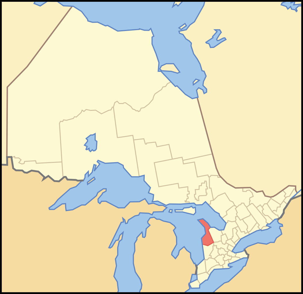
| Tuairisc | A map of Ontario showing the location of the County of Bruce |
| Dáta | |
| Foinse | Crop and trace of Image:Canada (geolocalisation).svg; trace of Image:Ontario subdivisions.PNG. |
| Údar | Vidioman |
| Leaganacha eile | en:Image:Ontbru.PNG |
.svg)
Ceadúnú
| I, the copyright holder of this work, release this work into the public domain. This applies worldwide. In some countries this may not be legally possible; if so: I grant anyone the right to use this work for any purpose, without any conditions, unless such conditions are required by law. |
Stair chomhaid
Cliceáil ar dáta/am chun an comhad a radharc mar a bhí sé ag an am sin.
| Dáta/Am | Mionsamhail | Toisí | Úsáideoir | Nóta tráchta | |
|---|---|---|---|---|---|
| faoi láthair | 13:33, 16 Deireadh Fómhair 2007 | | 340 × 330 (84 KB) | Vidioman | {{Created with Inkscape}} {{Information |Description=A map of Ontario showing the location of the County of Bruce |Source=Crop and trace of Image:Canada (geolocalisation).svg; trace of [http://en.wikipedia.org/wiki/Image: |
.svg)
Úsáid comhaid
Tá nasc chuig an gcomhad seo ar na leathanaigh seo a leanas:
Global file usage
The following other wikis use this file:
- Úsáid ar de.wikipedia.org
- Úsáid ar en.wikipedia.org
- Úsáid ar fa.wikipedia.org
- Úsáid ar fr.wikipedia.org
- Úsáid ar it.wikipedia.org
- Úsáid ar pl.wikipedia.org
- Úsáid ar pnb.wikipedia.org
- Úsáid ar ru.wikipedia.org
- Úsáid ar sv.wikipedia.org
- Úsáid ar uk.wikipedia.org
- Úsáid ar www.wikidata.org
- Úsáid ar zh.wikipedia.org