Íomhá:Map of the historical region of (Iranian) Azerbaijan.png
Size of this preview: 652 × 600 picteilín. Other resolutions: 261 × 240 picteilín | 522 × 480 picteilín | 895 × 823 picteilín.
Taispeáin leagan ardtaifigh den íomhá (895 × 823 picteilín, méid comhaid: 22 KB, cineál MIME: image/png)
| Seo comhad as An Cómhaoin Viciméid. Tá an tuairisc as an leathanach tuairisc Cómhaoin a leanas thíos.
|
_Azerbaijan.png)
Achoimriú
| Tuairisc |
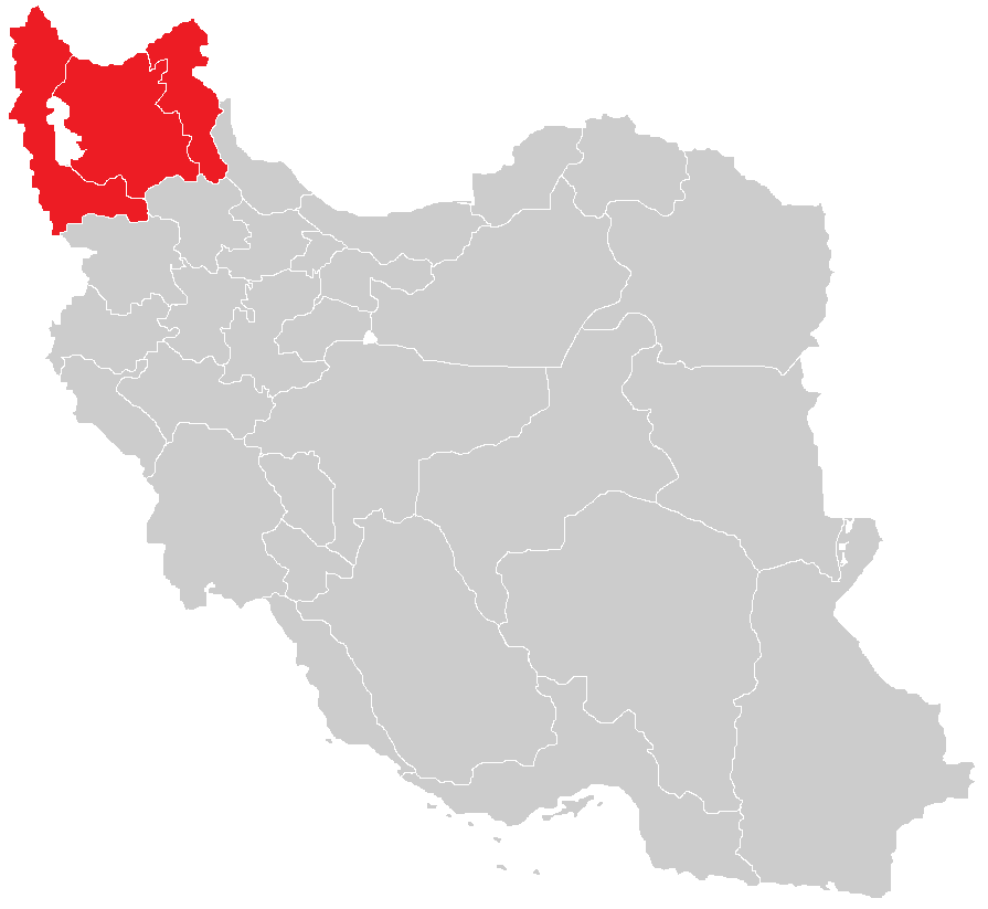
English: Map of the historical region of (Iranian) Azerbaijan |
| Dáta | |
| Foinse |
https://commons.wikimedia.org/w/index.php?title=File:Iranian-Azerbaijan.png&dir=prev#filehistory Based on the sources;
|
| Údar | HistoryofIran |
Ceadúnú
This file is licensed under the Creative Commons Attribution-Share Alike 4.0 International license.
- Is féidir:
- an saothar seo a roinnt – an saothar seo a chóipeáil, a dháil amach, agus a tharchur
- an saothar seo a athmheascadh – an saothar seo a oiriúnú
- Ach amháin má leantar na coinníollacha seo a leanas:
- sannadh – Ní mor creidiúint a thabhairt leis an saothar, faoi mar a shonraigh an údar nó tabharthóir an ceadúnais (ach ná húsáid modh a thugann le fios go thacaíonn sé/sí tú féin nó an úsáid a bhaineann tú as an saothar).
- comhroinn araon – Má athraíonn tú nó síneann tú amach an saothar seo, ní féidir é a dháileadh ach amhaín faoin gceadúnas céanna nó ceann cosúil leis an gceann seo.

|
This map image could be re-created using vector graphics as an SVG file. This has several advantages; see Commons:Media for cleanup for more information. If an SVG form of this image is available, please upload it and afterwards replace this template with
{{vector version available|new image name}}.
It is recommended to name the SVG file “Map of the historical region of (Iranian) Azerbaijan.svg”—then the template Vector version available (or Vva) does not need the new image name parameter. |
Stair chomhaid
Cliceáil ar dáta/am chun an comhad a radharc mar a bhí sé ag an am sin.
| Dáta/Am | Mionsamhail | Toisí | Úsáideoir | Nóta tráchta | |
|---|---|---|---|---|---|
| faoi láthair | 13:28, 29 Meán Fómhair 2023 | | 895 × 823 (22 KB) | HistoryofIran | rv, WP:RS contradicts this. |
| 09:24, 27 Meán Fómhair 2023 |  | 895 × 823 (15 KB) | AkaneoMT | Added Zanjan province as a contested part of historical Azerbaijan | |
| 11:59, 19 Eanáir 2022 |  | 895 × 823 (22 KB) | HistoryofIran | Uploaded a work by HistoryofIran from https://commons.wikimedia.org/w/index.php?title=File:Iranian-Azerbaijan.png&dir=prev#filehistory with UploadWizard |
Úsáid comhaid
Tá nasc chuig an gcomhad seo ar na leathanaigh seo a leanas:
Global file usage
The following other wikis use this file:
- Úsáid ar azb.wikipedia.org
- Úsáid ar az.wikipedia.org
- Úsáid ar bn.wikipedia.org
- Úsáid ar ca.wikipedia.org
- Úsáid ar diq.wikipedia.org
- Úsáid ar en.wikipedia.org
- Úsáid ar eo.wikipedia.org
- Úsáid ar eu.wikipedia.org
- Úsáid ar fr.wikipedia.org
- Úsáid ar id.wikipedia.org
- Úsáid ar ku.wikipedia.org
- Úsáid ar lv.wikipedia.org
- Úsáid ar mg.wikipedia.org
- Úsáid ar ms.wikipedia.org
- Úsáid ar nl.wikipedia.org
- Úsáid ar pt.wikipedia.org
- Úsáid ar ru.wikipedia.org
- Úsáid ar sh.wikipedia.org
- Úsáid ar simple.wikipedia.org
- Úsáid ar sr.wikipedia.org
- Úsáid ar uk.wikipedia.org
- Úsáid ar www.wikidata.org
_Azerbaijan.png)