Íomhá:SouthThanet2007Constituency.svg

Size of this PNG preview of this SVG file: 312 × 205 picteilín. Other resolutions: 320 × 210 picteilín | 640 × 421 picteilín | 1,024 × 673 picteilín | 1,280 × 841 picteilín | 2,560 × 1,682 picteilín.
Taispeáin leagan ardtaifigh den íomhá (Comhad SVG, ainmniúil 312 × 205 picteilíni, méid comhaid: 217 KB)
| Seo comhad as An Cómhaoin Viciméid. Tá an tuairisc as an leathanach tuairisc Cómhaoin a leanas thíos.
|
Achoimriú
| Tuairisc |
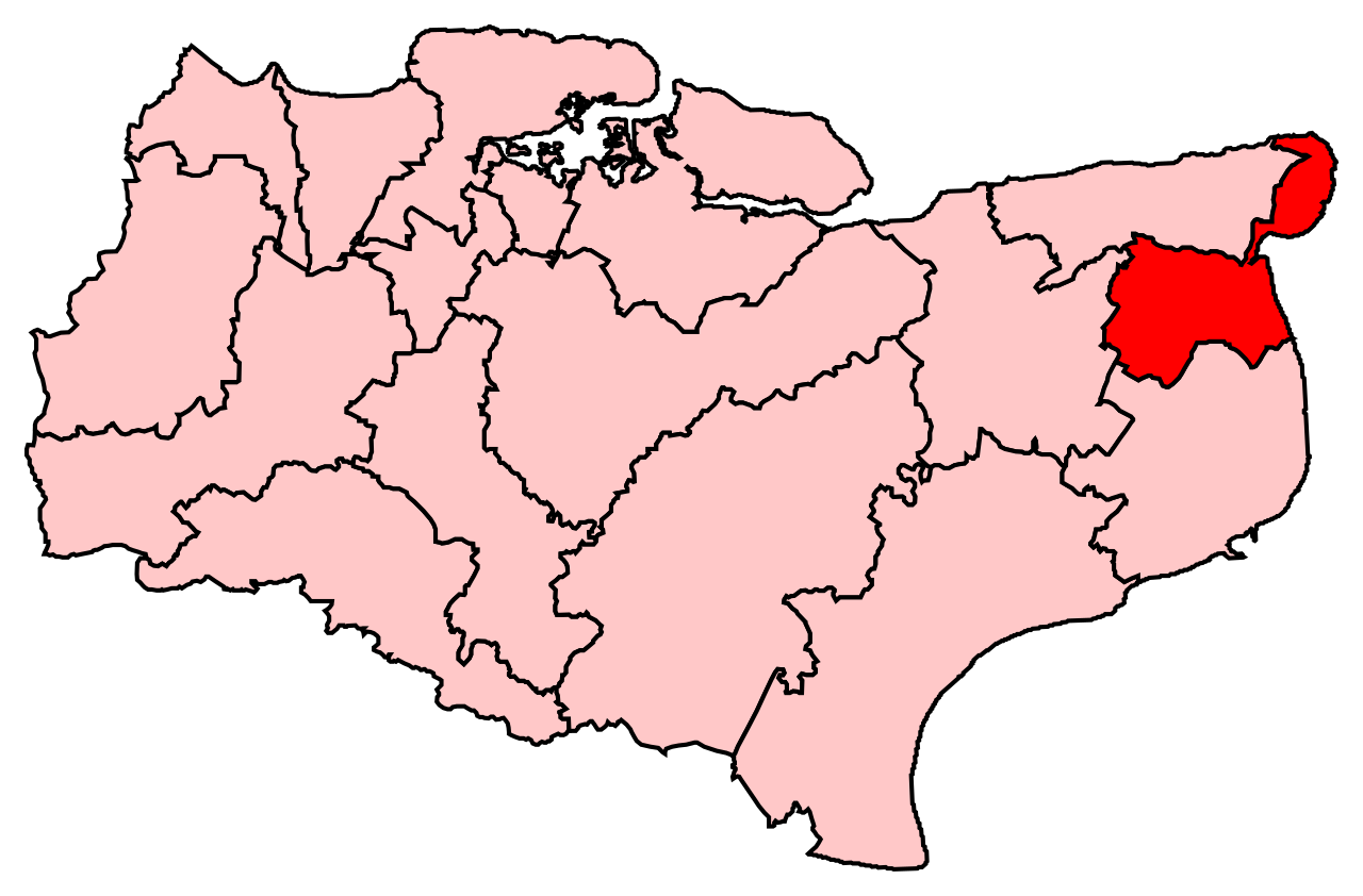
English: Map of the new UK Parliament constituency of South Thanet. |
| Foinse | Obair féin |
| Údar | user:Wereon |
Ceadúnú
| I, the copyright holder of this work, release this work into the public domain. This applies worldwide. In some countries this may not be legally possible; if so: I grant anyone the right to use this work for any purpose, without any conditions, unless such conditions are required by law. |
Stair chomhaid
Cliceáil ar dáta/am chun an comhad a radharc mar a bhí sé ag an am sin.
| Dáta/Am | Mionsamhail | Toisí | Úsáideoir | Nóta tráchta | |
|---|---|---|---|---|---|
| faoi láthair | 22:12, 8 Iúil 2008 | | 312 × 205 (217 KB) | Wereon | == Summary == Map of the new UK Parliament constituency of South Thanet. == Licensing == {{PD-self}} Category:Locator maps of parliamentary constituencies of Kent {{ImageUpload|basic}} |
Úsáid comhaid
Níl nasc ó aon leathanach eile don íomhá seo.
Global file usage
The following other wikis use this file:
- Úsáid ar cy.wikipedia.org
- Úsáid ar en.wikipedia.org
- Úsáid ar fr.wikipedia.org
- Úsáid ar it.wikipedia.org
- Úsáid ar zh.wikipedia.org