Íomhá:Zimbabwe adm location map.svg

Taispeáin leagan ardtaifigh den íomhá (Comhad SVG, ainmniúil 832 × 754 picteilíni, méid comhaid: 184 KB)
| Seo comhad as An Cómhaoin Viciméid. Tá an tuairisc as an leathanach tuairisc Cómhaoin a leanas thíos.
|
Achoimriú
| Tuairisc |
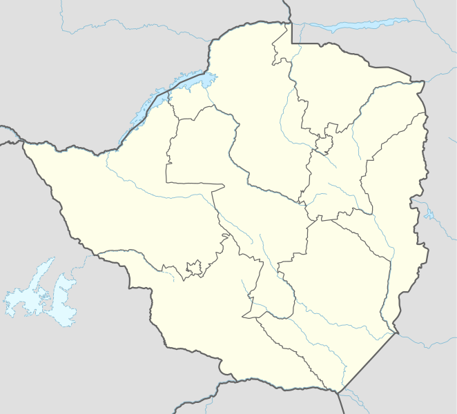
Deutsch: Positionskarte von Simbabwe
English: Location map of Zimbabwe
|
||||||||||||
| Dáta | |||||||||||||
| Foinse |
Own work using:
|
||||||||||||
| Údar | NordNordWest | ||||||||||||

|
This map has been made or improved in the German Kartenwerkstatt (Map Lab). You can propose maps to improve as well.
|
Ceadúnú
Usage of this file with:

explanatory notes: Legally binding is only the full legalcode. For a free usage I recommend to respect the following licence conditions:
1. Provide my name as given above: NordNordWest,
2. a copy of, or the URI for, the applicable license: https://creativecommons.org/licenses/by-sa/3.0/de/legalcode,
3. the title of the work,
4. in the case of an adaptation, a credit identifying the use of the work in the adaptation.
This license and the rights granted hereunder will terminate automatically upon any breach by you of the terms of this license. Any of the above conditions can be waived if you get permission from the copyright holder. If you have questions or wish differing conditions, please contact me through nnwest or my discussion page ![]() t-online.de
t-online.de
- Is féidir:
- an saothar seo a roinnt – an saothar seo a chóipeáil, a dháil amach, agus a tharchur
- an saothar seo a athmheascadh – an saothar seo a oiriúnú
- Ach amháin má leantar na coinníollacha seo a leanas:
- sannadh – Ní mor creidiúint a thabhairt leis an saothar, faoi mar a shonraigh an údar nó tabharthóir an ceadúnais (ach ná húsáid modh a thugann le fios go thacaíonn sé/sí tú féin nó an úsáid a bhaineann tú as an saothar).
- comhroinn araon – Má athraíonn tú nó síneann tú amach an saothar seo, ní féidir é a dháileadh ach amhaín faoin gceadúnas céanna nó ceann cosúil leis an gceann seo.

Stair chomhaid
Cliceáil ar dáta/am chun an comhad a radharc mar a bhí sé ag an am sin.
| Dáta/Am | Mionsamhail | Toisí | Úsáideoir | Nóta tráchta | |
|---|---|---|---|---|---|
| faoi láthair | 15:53, 17 Aibreán 2017 | | 832 × 754 (184 KB) | NordNordWest | corr |
| 19:56, 30 Meitheamh 2015 |  | 832 × 754 (186 KB) | NordNordWest | c | |
| 19:29, 29 Meitheamh 2015 |  | 832 × 754 (186 KB) | NordNordWest | == {{int:filedesc}} == {{Information |Description= {{de|1=Positionskarte von Simbabwe}} {{en|1=Location map of Zimbabwe}} {{Location map series N |stretching=105 |top=-15.2 |bottom=-22.8 |left=24.8 |right=33.6 }} |Source={{Own using}} * United States N... |
Úsáid comhaid
Níl nasc ó aon leathanach eile don íomhá seo.
Global file usage
The following other wikis use this file:
- Úsáid ar af.wikipedia.org
- Barberton (dubbelsinnig)
- Gonarezhou Nasionale Park
- Marondera
- Mutare
- Chivhu
- Beatrice, Zimbabwe
- Banket
- Bindura
- Gweru
- Aberdeen (dubbelsinnig)
- Masvingo
- Kwekwe
- Victoria-waterval
- Redcliff
- Karoi
- Chinhoyi
- Kadoma
- Hwange
- West Nicholson
- Chegutu
- Sjabloon:Liggingkaart Zimbabwe
- Zvishavane
- Esigodini
- Mbalabala
- Gwanda
- Shurugwi
- Mvuma
- Willowvale, Zimbabwe
- Zimbabwiese nasionale krieketspan
- Chitungwiza
- Groot-Zimbabwe
- Khami
- Mana Pools
- Barbertonmyn, Zimbabwe
- Krieketwêreldbeker 2003
- Victoria Falls
- Matopos
- Bubirivier
- Martins-waterval
- Mazowedam
- Shanganirivier
- Úsáid ar am.wikipedia.org
- Úsáid ar an.wikipedia.org
- Úsáid ar ar.wikipedia.org
- Úsáid ar ast.wikipedia.org
View more global usage of this file.